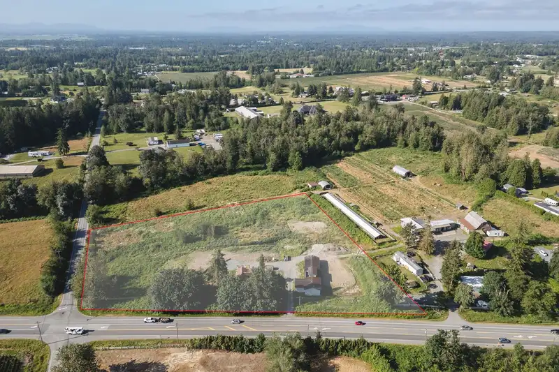
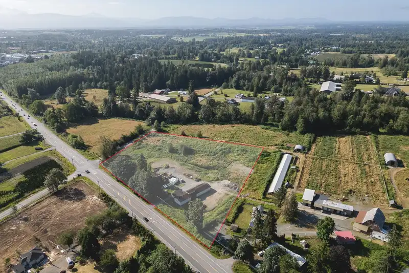
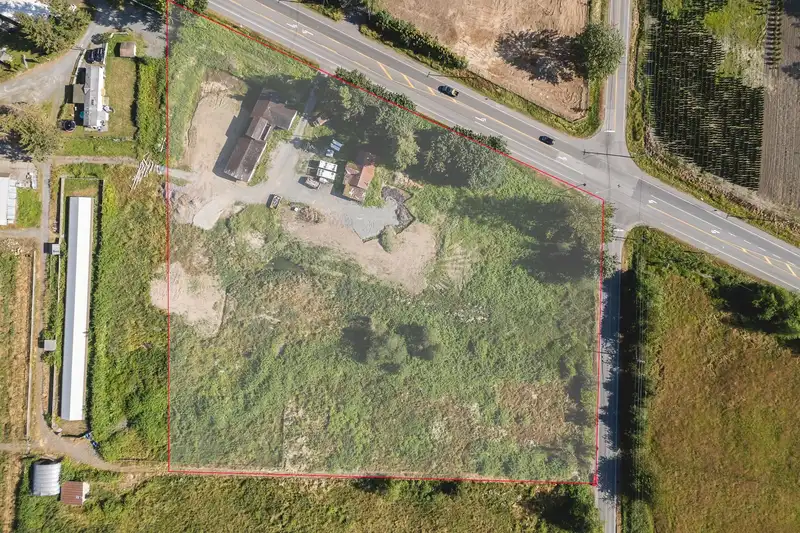
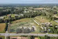
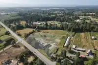
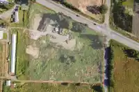
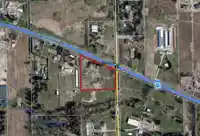
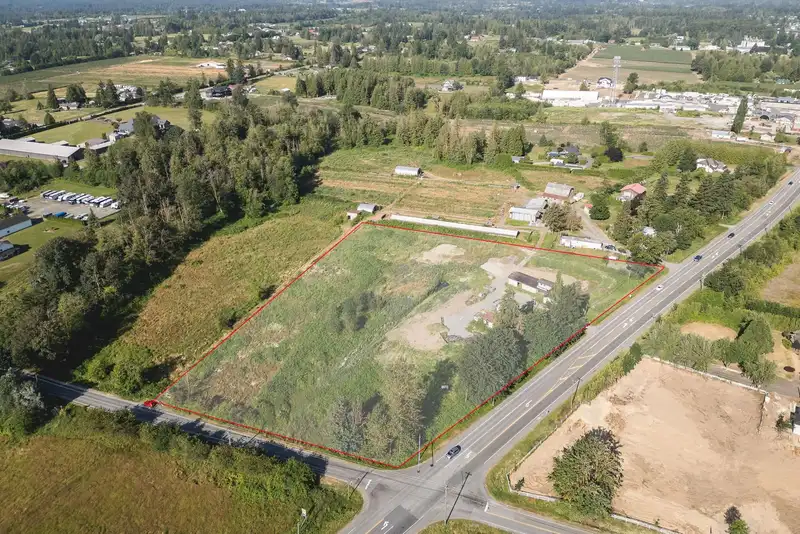
This 5-acre prime corner property offers exceptional visibility at the intersection of Fraser Highway and 256 Street. Ideal for an agricultural business, a custom-built home, or other uses. With over 870 feet of frontage and no watercourses (according to TOL Geosource), this property is a valuable long-term investment in the ALR. Zoning permits a…
This 5-acre prime corner property offers exceptional visibility at the intersection of Fraser Highway and 256 Street. Ideal for an agricultural business, a custom-built home, or other uses. With over 870 feet of frontage and no watercourses (according to TOL Geosource), this property is a valuable long-term investment in the ALR. Zoning permits a single-family residence, a secondary home (subject to size restrictions), agricultural structures, and various farming activities. The existing 1,250 sqft home and nearly 3,000 sqft/ shop need some TLC. Conveniently located near Highway 1, the US border, Aldergrove, and Langley, this property is poised for future growth with the development of Fraser Highway. Buyer to confirm all details independently.
Features
No Outdoor Area
Open
Shopping Nearby
Room measurements7 rooms▸
Living RoomMain · 11' × 19'
Dining RoomMain · 11' × 13'
KitchenMain · 13' × 7'
BedroomMain · 10' × 11'
BedroomMain · 9' × 11'
BedroomMain · 8' × 11'
DenMain · 8' × 11'
Floor plan
🔍 Tap to zoom
Pinch or scroll to zoom · drag to pan · double-tap to reset
Property Details
MLS NumberR2905605
Property TypeSingle Family Residence
Bedrooms3
Bathrooms1
Square Feet1,240
Lot Size217,800 sqft
Year Built1929
HeatingNatural Gas
StatusClosed
Listed ByRoyal LePage - Wolstencroft
School Catchment
ElementaryWix Brown
SecondaryD.W. Poppy
Neighbourhood
$1,600,000Median home value
$103,000Median household income
75.5%Owner-occupied
70.4%Single-detached homes
2.8Avg household size
48Median age
16.3%Bachelor's degree or higher (25-64)
54.3%Commute under 30 min
90.7%Drive to work
18.3%Foreign-born residents
6,331Neighbourhood population
Source: Statistics Canada, Census of Population, 2021. Reproduced and distributed on an "as is" basis with the permission of Statistics Canada.
Location
Highlighted area = this home's census tract (StatCan), the boundary the neighbourhood stats describe.
Zoning, lot dimensions and grade are approximate, from public data, and for reference only — verify with the City / Township of Langley before relying on them.
Mortgage Calculator
Estimated Monthly Payment—
Partner Rates Available
Contact us for preferred mortgage rates

 1 / 5 photos